
Drone-Based Survey & Inspection Services
Smarter Surveys. Better Data. Faster Decisions.
Pacific Technoproducts provides advanced drone-based surveying and inspection solutions for industrial, infrastructure and large-scale projects.
Using drones equipped with LiDAR, RGB, Thermal and Multispectral sensors, we capture high resolution aerial data and convert it into actionable insights for planning, inspection, measurement and asset monitoring
Our Survey Capabilities
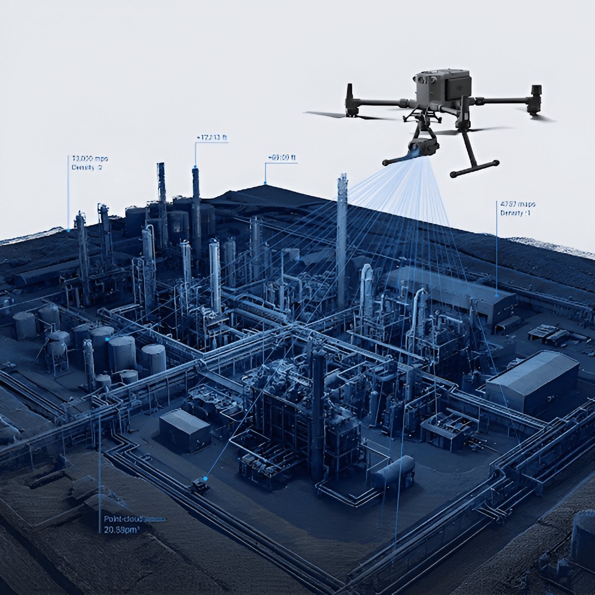
LiDAR Survey
High-accuracy 3D mapping of land, structures and assets
Applications
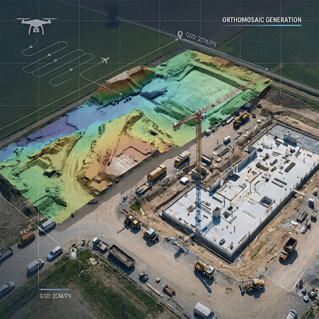
RGB / Photogrammetry Survey
High-resolution aerial imagery for accurate mapping and visual inspection
Applications
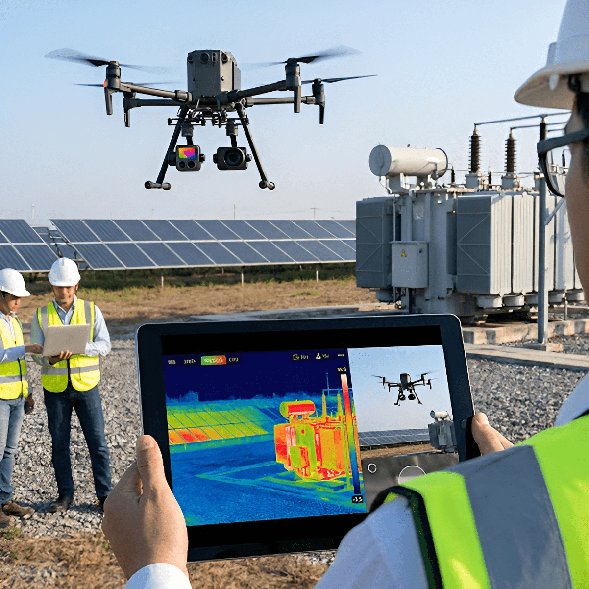
Thermal Imaging Survey
Detect temperature variations and anomalies that may not be visible to the human eye.
Applications
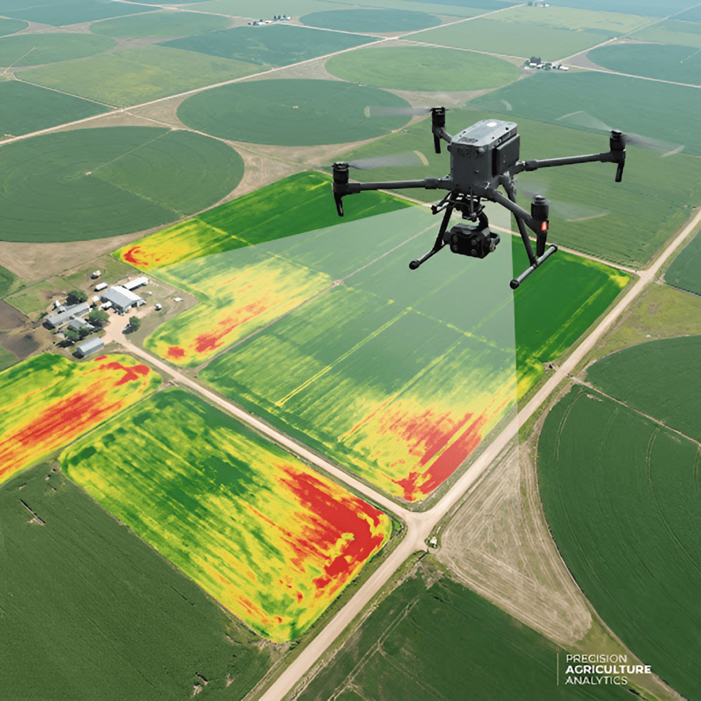
Multispectral Survey
Capture data across multiple spectral bands for advanced environmental and vegetation analysis.
Applications
Industries We Serve
Oil, Gas & Pipelines
Pipeline corridor surveys, anomaly identification and asset monitoring
Roads & Railways
Route surveys, corridor mapping and infrastructure condition assessment
Mining & Quarrying
Stockpile measurement, volumetric analysis, terrain mapping and site monitoring
Agriculture & Forestry
Crop health, vegetation mapping, plantation surveys and land analysis
Infrastructure & Construction
Surveying, progress monitoring, terrain mapping and project documentation.
Power & Solar
Thermal inspection of solar farms, transmission infrastructure and electrical assets
Manufacturing & Industrial Plants
Roof, structure, chimney and difficult-to-access asset inspection
What We Deliver
From Flight to Insight
Our approach enables organisations to survey large or difficult-to-access areas faster, safer and with
significantly richer data than conventional inspection methods.
01
Survey Planning
02
Drone Data Capture
03
Data Processing
04
Analysis
05
GIS / 3D Outputs
06
Actionable Insights
See More. Measure Better. Act Faster
Talk to Pacific Technoproducts about your next drone survey, mapping or industrial inspection project.